Press enter to begin your search
 

WATERSHED DETAILS

Watershed Details

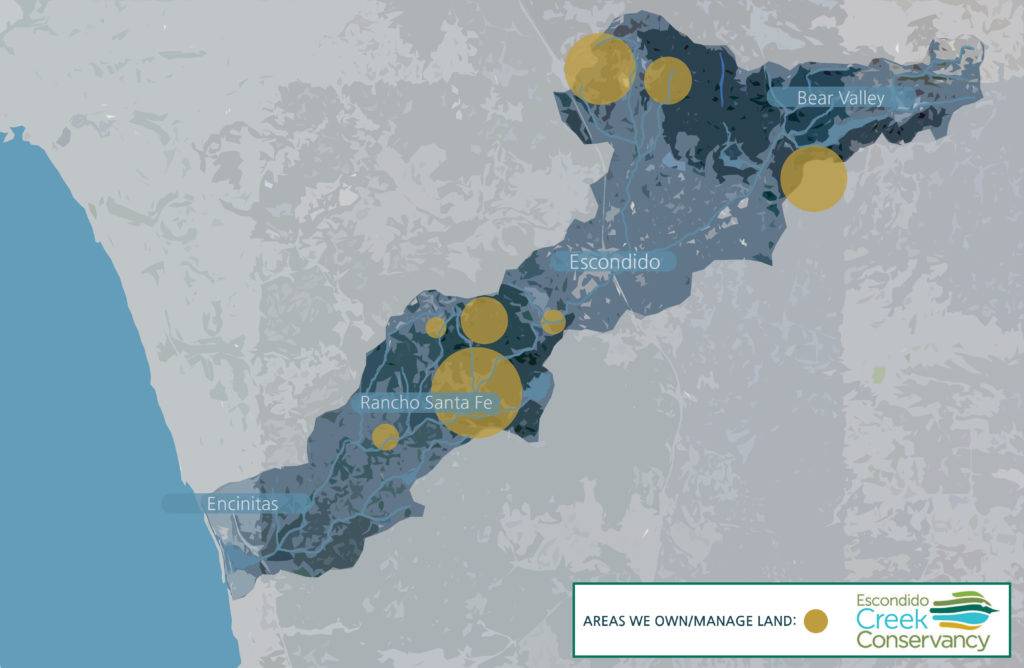
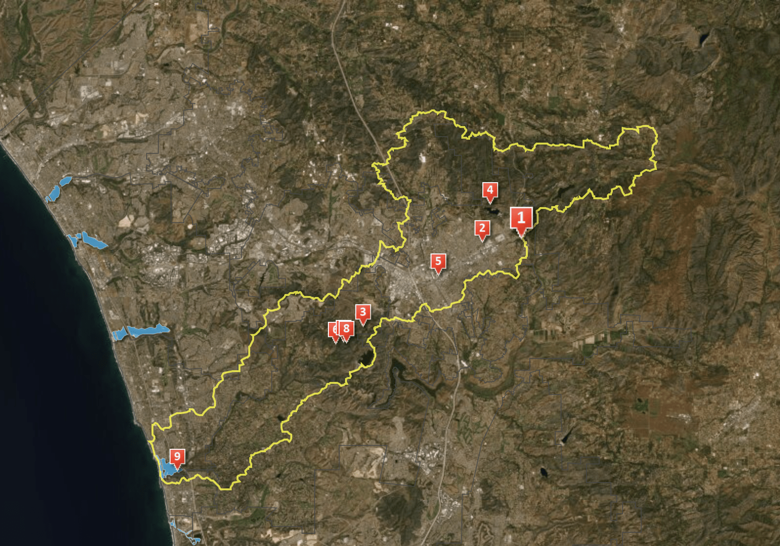
The Escondido Creek watershed is formed by the creek of the same name. Beginning at the upper headwaters in Bear Valley above Lake Wohlford, the creek flows more than 26 miles to meet the ocean at San Elijo Lagoon. Its 75+ square mile watershed includes lands managed by or governed by many jurisdictions, including:

  • The City of Escondido
  • The City of Encinitas
  • The City of San Marcos
  • The City of Solana Beach
  • The County of San Diego
  • Department of the Interior Bureau of Land Management
  • The Sovereign Nation of The San Pasqual Band of Kumeyaay Indians

Click the map to see the story of the Escondido Creek Watershed!

It takes a Village (or a County)!

Land and water in The Escondido Creek Watershed aren’t just protected and cared for by The Escondido Creek Conservancy. There are several region-wide projects, plans, and legal frameworks that promote collaboration between nonprofits, municipalities, government agencies, and private entities in the shared goals of protecting our precious land, beloved wildlife species, and life-giving water.

To learn more about the regional collaborators managing the Escondido Creek Watershed and the Carlsbad Hydrologic Unit of which it is a part, check out the Carlsbad Watershed Network.

To learn more about water quality in the Carlsbad Hydrologic Unit and Escondido Creek, as well as educational and legislative efforts to improve it, check out the Project Clean Water website for the San Diego region.

To learn more about the regional plan that allows for protection of the high-quality habitat found in the Escondido Creek Watershed, read about the North County Multiple Species Conservation Plan (MSCP-N).