Mapping Carbon Storage
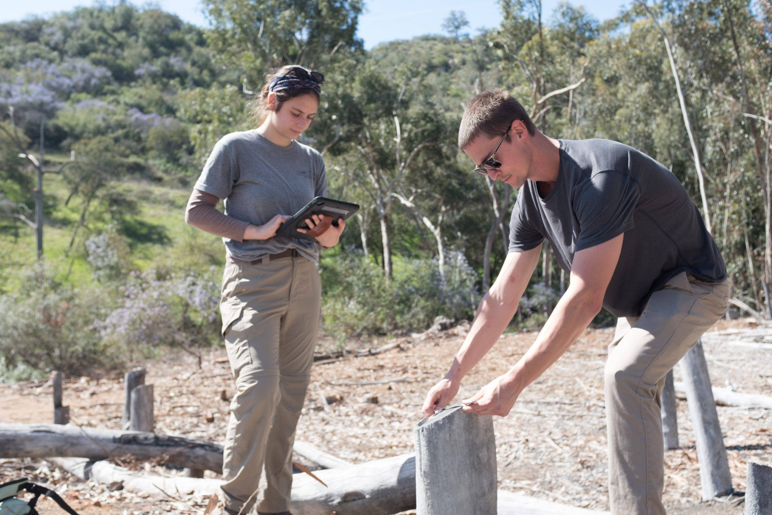
Last month, GIS interns Diana and Anton from Palomar College began learning how to take direct action to improve habitats while minimizing climate impacts. The duo began producing maps to help the Conservancy track and monitor data. The main project so far is measuring and mapping invasive eucalyptus that have been cut down for us by our partners, including CalFire. Having this data will help us accomplish two things:
- Estimate the resources needed to complete the eucalyptus removal on Sardina Preserve
- Estimate the amount of carbon sequestered by the eucalyptus
As we prepare to remove the thousands of eucalyptus that remain at the Preserve, it’s important that we anticipate the amount of resources we’ll need to complete the project, the overall benefit of the project to biodiversity, and any potential losses of carbon sequestration. We’ve already identified partners, like Lumbercycle, that will help us divert as much green waste as possible from landfills by recycling all wood from trees above a certain size, thus preventing carbon stored in the wood from being released into the atmosphere. Doing this will not only help us improve the native biodiversity at the Sardina Preserve, but also allow us to reinvest in our community through art and custom furniture.